Communityworks, Undercliffe Lane
Introduction
The photograph on this page of Communityworks, Undercliffe Lane by Stephen Armstrong as part of the Geograph project.
The Geograph project started in 2005 with the aim of publishing, organising and preserving representative images for every square kilometre of Great Britain, Ireland and the Isle of Man.

There are currently over 7.5m images from over 14,400 individuals and you can help contribute to the project by visiting https://www.geograph.org.uk
Communityworks, Undercliffe Lane
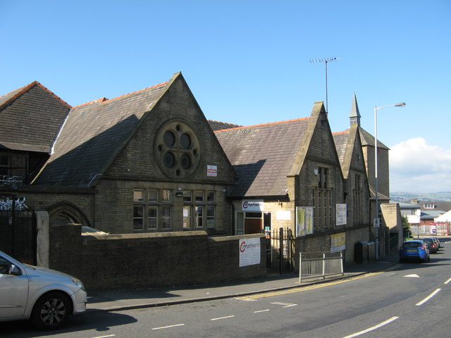
Image: © Stephen Armstrong Taken: 18 Jun 2016
A community resource facility housed in the former St. Augustine's Primary School. It is good to see an old school building in good use rather than being converted into apartments or left to rot. There is an OS Cut Benchmark on the wall of the building, inside the yard area, facing the gate. Image
Images are licensed for reuse under creativecommons.org/licenses/by-sa/2.0
Image Location


Leaflet Map data © OpenStreetMap
Latitude
53.802921
Longitude
-1.741842