Approaching Hunter's Hill Farm
Introduction
The photograph on this page of Approaching Hunter's Hill Farm by Chris Heaton as part of the Geograph project.
The Geograph project started in 2005 with the aim of publishing, organising and preserving representative images for every square kilometre of Great Britain, Ireland and the Isle of Man.

There are currently over 7.5m images from over 14,400 individuals and you can help contribute to the project by visiting https://www.geograph.org.uk
Approaching Hunter's Hill Farm
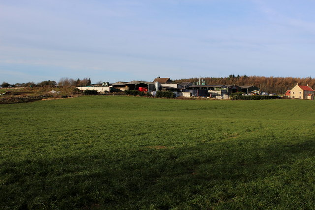
Image: © Chris Heaton Taken: 18 Dec 2017
The public footpath runs diagonally across this field towards the buildings that make up Hunter's Hill Farm. The farmer, however, earned my displeasure by enclosing said field with an electric fence - ignoring the presence of a right of way. Care was needed to avoid several volts of electricity passing through my body while negotiating entry and exit from this pasture.
Images are licensed for reuse under creativecommons.org/licenses/by-sa/2.0
Image Location
Latitude
54.318637
Longitude
-1.639472