Weir, Connswater, Belfast (December 2017)
Introduction
The photograph on this page of Weir, Connswater, Belfast (December 2017) by Albert Bridge as part of the Geograph project.
The Geograph project started in 2005 with the aim of publishing, organising and preserving representative images for every square kilometre of Great Britain, Ireland and the Isle of Man.

There are currently over 7.5m images from over 14,400 individuals and you can help contribute to the project by visiting https://www.geograph.org.uk
Weir, Connswater, Belfast (December 2017)
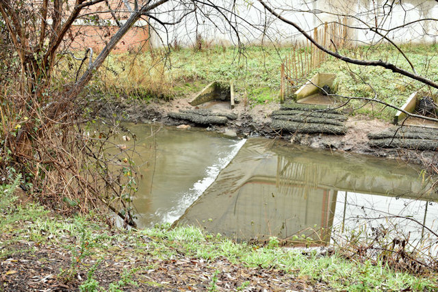
Image: © Albert Bridge Taken: 22 Dec 2017
The weir, at the Connswater Bridge Image, was removed during the Greenway works. This one, further upstream, between the Connswater Link and Avoniel, remains untouched.
Images are licensed for reuse under creativecommons.org/licenses/by-sa/2.0
Image Location
Latitude
54.595522
Longitude
-5.893491