The Hatherton Canal near Calf Heath in Staffordshire
Introduction
The photograph on this page of The Hatherton Canal near Calf Heath in Staffordshire by Roger D Kidd as part of the Geograph project.
The Geograph project started in 2005 with the aim of publishing, organising and preserving representative images for every square kilometre of Great Britain, Ireland and the Isle of Man.

There are currently over 7.5m images from over 14,400 individuals and you can help contribute to the project by visiting https://www.geograph.org.uk
The Hatherton Canal near Calf Heath in Staffordshire
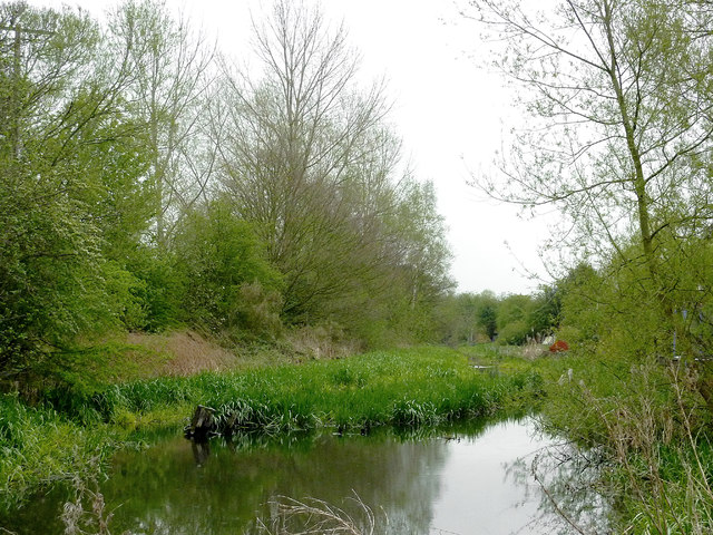
Image: © Roger D Kidd Taken: 3 May 2012
This is the canal above Lock No 2 east of Hatherton Junction. The Hatherton Canal was opened in 1841, and extended in 1863. It remained in use for carrying coal until 1949 and was formally abandoned in 1955. It is not navigable above this lock but remains as a feeder to the Staffordshire and Worcestershire Canal at Hatherton Junction three hundred metres west-south-west. Restoration is planned, but re-opening is many years away. http://www.lhcrt.org.uk/ http://captainahabswaterytales.blogspot.co.uk/2010/02/hatherton-branch-canal.html
Images are licensed for reuse under creativecommons.org/licenses/by-sa/2.0
Image Location
Latitude
52.675787
Longitude
-2.092837