Winterbourne Abbas, River South Winterborne
Introduction
The photograph on this page of Winterbourne Abbas, River South Winterborne by Mike Faherty as part of the Geograph project.
The Geograph project started in 2005 with the aim of publishing, organising and preserving representative images for every square kilometre of Great Britain, Ireland and the Isle of Man.

There are currently over 7.5m images from over 14,400 individuals and you can help contribute to the project by visiting https://www.geograph.org.uk
Winterbourne Abbas, River South Winterborne
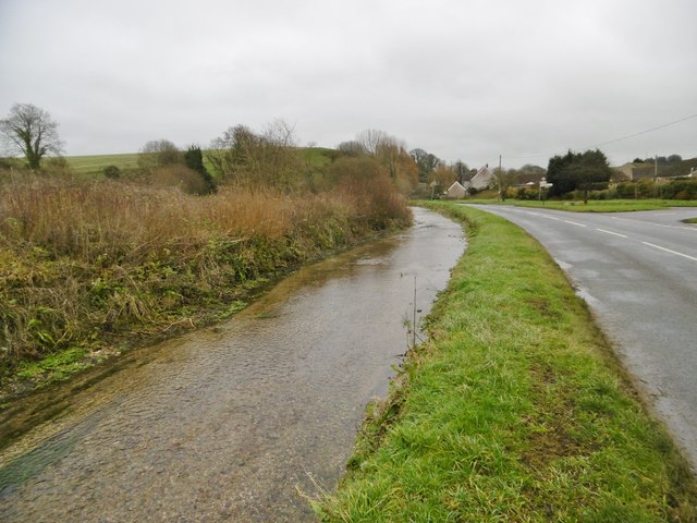
Image: © Mike Faherty Taken: 21 Dec 2017
One of two Dorset rivers with (almost) the same name, and one of half a dozen in the southern chalk counties. Winterbournes flow in winter and often dry out in summer. The South Winterborne rises in Winterbourne Abbas (the use of Winterbourne or Winterborne seems dependent on locality), and flows here through Martinstown (also known as Winterborne St Martin) before joining the Frome in West Stafford
Images are licensed for reuse under creativecommons.org/licenses/by-sa/2.0
Image Location
Latitude
50.710914
Longitude
-2.537008