Leaving Pappert Well Community Woodland
Introduction
The photograph on this page of Leaving Pappert Well Community Woodland by Lairich Rig as part of the Geograph project.
The Geograph project started in 2005 with the aim of publishing, organising and preserving representative images for every square kilometre of Great Britain, Ireland and the Isle of Man.

There are currently over 7.5m images from over 14,400 individuals and you can help contribute to the project by visiting https://www.geograph.org.uk
Leaving Pappert Well Community Woodland
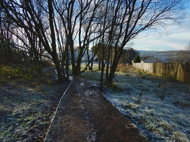
Image: © Lairich Rig Taken: 11 Dec 2017
In this, the opposite view to Image, the path is shown leading to the upper edge of the Beechwood Estate, close to its boundary with Braehead, one of the subdivisions of what is sometimes referred to as New Bonhill.
Images are licensed for reuse under creativecommons.org/licenses/by-sa/2.0
Image Location
Latitude
55.977278
Longitude
-4.555164