Entering Pappert Well Community Woodland
Introduction
The photograph on this page of Entering Pappert Well Community Woodland by Lairich Rig as part of the Geograph project.
The Geograph project started in 2005 with the aim of publishing, organising and preserving representative images for every square kilometre of Great Britain, Ireland and the Isle of Man.

There are currently over 7.5m images from over 14,400 individuals and you can help contribute to the project by visiting https://www.geograph.org.uk
Entering Pappert Well Community Woodland
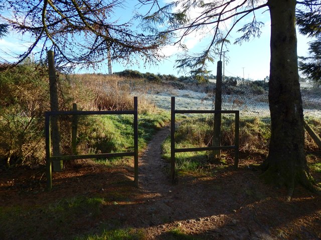
Image: © Lairich Rig Taken: 11 Dec 2017
Another entrance is nearby, at the south-western extremity of the community woodland: Image It leads to the upper edge of the Beechwood Estate. The one shown in the present picture is only a few metres to the north of it but, because of various quirks of the layout of the housing here, it leads instead to the upper edge of Braehead, one of the subdivisions of what is sometimes referred to as New Bonhill. In fact, that difference is what accounts for there being two points of entry into the community woodland that are so close together.
Images are licensed for reuse under creativecommons.org/licenses/by-sa/2.0
Image Location
Latitude
55.977733
Longitude
-4.554873