Uncultivated headland
Introduction
The photograph on this page of Uncultivated headland by Jonathan Billinger as part of the Geograph project.
The Geograph project started in 2005 with the aim of publishing, organising and preserving representative images for every square kilometre of Great Britain, Ireland and the Isle of Man.

There are currently over 7.5m images from over 14,400 individuals and you can help contribute to the project by visiting https://www.geograph.org.uk
Uncultivated headland
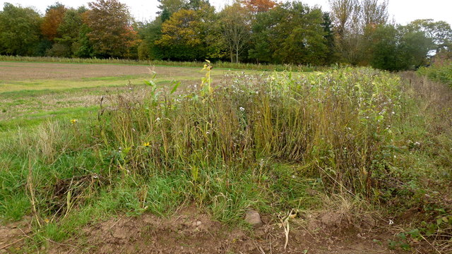
Image: © Jonathan Billinger Taken: 13 Oct 2017
An area left for wildlife which runs parallel with the field edge.
Images are licensed for reuse under creativecommons.org/licenses/by-sa/2.0
Image Location
Latitude
52.251938
Longitude
-2.785559