Footpath into Slead Syke Wood, Brighouse
Introduction
The photograph on this page of Footpath into Slead Syke Wood, Brighouse by Humphrey Bolton as part of the Geograph project.
The Geograph project started in 2005 with the aim of publishing, organising and preserving representative images for every square kilometre of Great Britain, Ireland and the Isle of Man.

There are currently over 7.5m images from over 14,400 individuals and you can help contribute to the project by visiting https://www.geograph.org.uk
Footpath into Slead Syke Wood, Brighouse
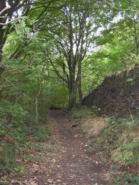
Image: © Humphrey Bolton Taken: 22 Sep 2007
This track was the access to extensive quarries on the crest of the hillside, to the right (north-east). These were called Clog Sole Delf (although the OS changed the spelling to 'Delph' in the late 19C).
Images are licensed for reuse under creativecommons.org/licenses/by-sa/2.0
Image Location


Leaflet Map data © OpenStreetMap
Latitude
53.709552
Longitude
-1.796953