Maryhill House Elgin
Introduction
The photograph on this page of Maryhill House Elgin by valenta as part of the Geograph project.
The Geograph project started in 2005 with the aim of publishing, organising and preserving representative images for every square kilometre of Great Britain, Ireland and the Isle of Man.

There are currently over 7.5m images from over 14,400 individuals and you can help contribute to the project by visiting https://www.geograph.org.uk
Maryhill House Elgin
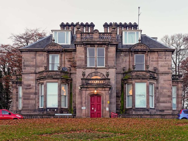
Image: © valenta Taken: 26 Nov 2017
Maryhill House now the home to the occupational health service, is grade B listed, and dates from around 1817
Images are licensed for reuse under creativecommons.org/licenses/by-sa/2.0
Image Location
Latitude
57.64707
Longitude
-3.326525