Bridleway south of Crockwood
Introduction
The photograph on this page of Bridleway south of Crockwood by Richard Law as part of the Geograph project.
The Geograph project started in 2005 with the aim of publishing, organising and preserving representative images for every square kilometre of Great Britain, Ireland and the Isle of Man.

There are currently over 7.5m images from over 14,400 individuals and you can help contribute to the project by visiting https://www.geograph.org.uk
Bridleway south of Crockwood
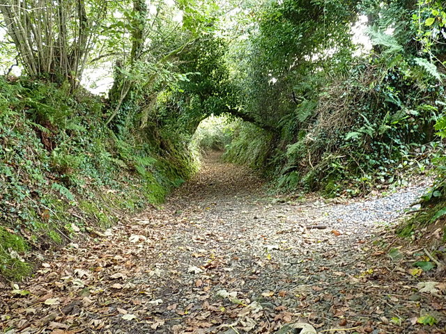
Image: © Richard Law Taken: 2 Oct 2017
The bridleway connects the Image to the main A39 near Bush, fording the River Neet Image at the bottom as it does so. It has the feel of an ancient right of way.
Images are licensed for reuse under creativecommons.org/licenses/by-sa/2.0
Image Location
Latitude
50.848304
Longitude
-4.517008