Perimeter path
Introduction
The photograph on this page of Perimeter path by Ian Calderwood as part of the Geograph project.
The Geograph project started in 2005 with the aim of publishing, organising and preserving representative images for every square kilometre of Great Britain, Ireland and the Isle of Man.

There are currently over 7.5m images from over 14,400 individuals and you can help contribute to the project by visiting https://www.geograph.org.uk
Perimeter path
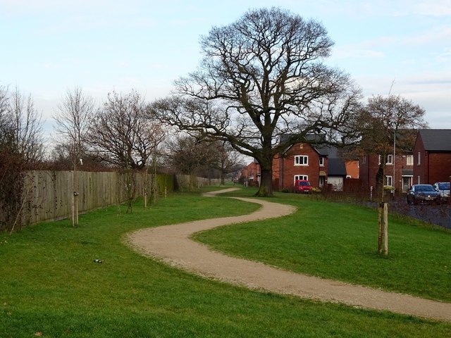
Image: © Ian Calderwood Taken: 19 Dec 2017
The path around the recently-built estate snakes its way between the houses and the railway and between new and established trees.
Images are licensed for reuse under creativecommons.org/licenses/by-sa/2.0
Image Location
Latitude
52.876275
Longitude
-1.511576