Path from Lee Road to Huddersfield Road
Introduction
The photograph on this page of Path from Lee Road to Huddersfield Road by Stephen Craven as part of the Geograph project.
The Geograph project started in 2005 with the aim of publishing, organising and preserving representative images for every square kilometre of Great Britain, Ireland and the Isle of Man.

There are currently over 7.5m images from over 14,400 individuals and you can help contribute to the project by visiting https://www.geograph.org.uk
Path from Lee Road to Huddersfield Road
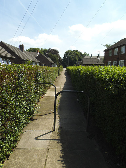
Image: © Stephen Craven Taken: 17 Jun 2017
You would not know it from the surface, but the trunk sewer tunnel (see shared description) runs about 10m below ground, beneath this path.
Images are licensed for reuse under creativecommons.org/licenses/by-sa/2.0
Image Location
Latitude
53.67763
Longitude
-1.669489