River Lossie - Morriston Playing Fields
Introduction
The photograph on this page of River Lossie - Morriston Playing Fields by valenta as part of the Geograph project.
The Geograph project started in 2005 with the aim of publishing, organising and preserving representative images for every square kilometre of Great Britain, Ireland and the Isle of Man.

There are currently over 7.5m images from over 14,400 individuals and you can help contribute to the project by visiting https://www.geograph.org.uk
River Lossie - Morriston Playing Fields
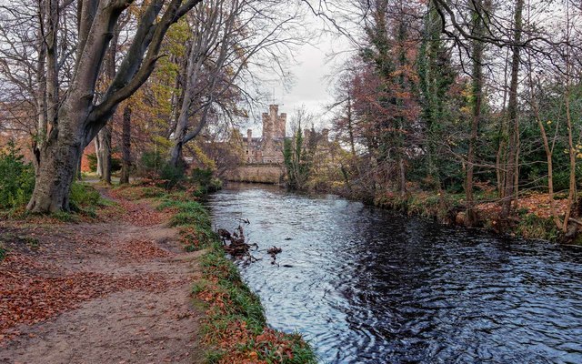
Image: © valenta Taken: 26 Nov 2017
Looking downstream towards the grade B listed Mansion House Hotel, which dates from 1882
Images are licensed for reuse under creativecommons.org/licenses/by-sa/2.0
Image Location
Latitude
57.64969
Longitude
-3.325113