Kendal Bank
Introduction
The photograph on this page of Kendal Bank by Alan Murray-Rust as part of the Geograph project.
The Geograph project started in 2005 with the aim of publishing, organising and preserving representative images for every square kilometre of Great Britain, Ireland and the Isle of Man.

There are currently over 7.5m images from over 14,400 individuals and you can help contribute to the project by visiting https://www.geograph.org.uk
Kendal Bank
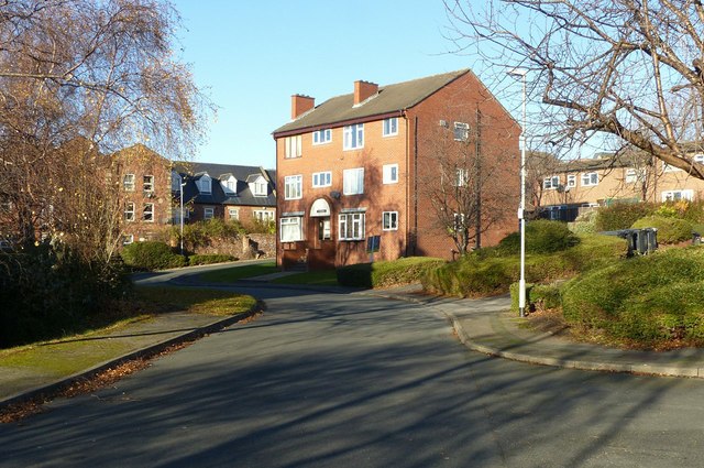
Image: © Alan Murray-Rust Taken: 11 Dec 2017
20th century maisonette development replacing an area of back-to-back housing.
Images are licensed for reuse under creativecommons.org/licenses/by-sa/2.0
Image Location


Leaflet Map data © OpenStreetMap
Latitude
53.802042
Longitude
-1.562381