Icy path, Nitshill (detail)
Introduction
The photograph on this page of Icy path, Nitshill (detail) by Richard Sutcliffe as part of the Geograph project.
The Geograph project started in 2005 with the aim of publishing, organising and preserving representative images for every square kilometre of Great Britain, Ireland and the Isle of Man.

There are currently over 7.5m images from over 14,400 individuals and you can help contribute to the project by visiting https://www.geograph.org.uk
Icy path, Nitshill (detail)
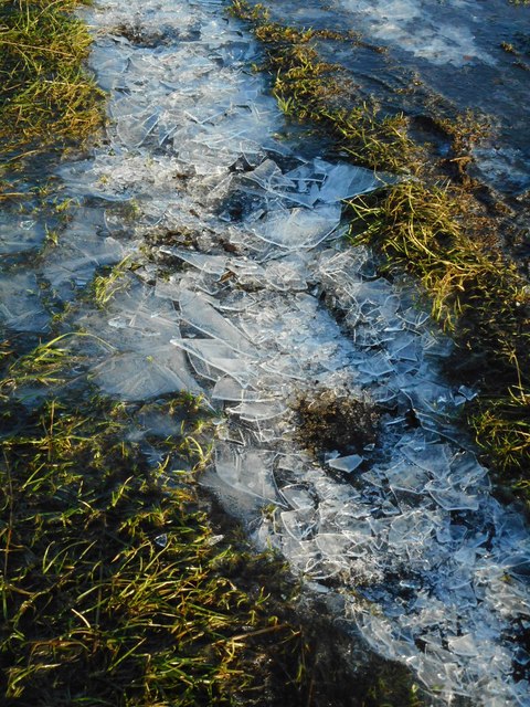
Image: © Richard Sutcliffe Taken: 15 Dec 2017
Part of the path across 'waste ground' leading to Nitshill Road. The path was frozen and numerous walkers had broken up much of the ice.
Images are licensed for reuse under creativecommons.org/licenses/by-sa/2.0
Image Location
Latitude
55.812535
Longitude
-4.361431