The A449 Penn Road in Wolverhampton
Introduction
The photograph on this page of The A449 Penn Road in Wolverhampton by Roger D Kidd as part of the Geograph project.
The Geograph project started in 2005 with the aim of publishing, organising and preserving representative images for every square kilometre of Great Britain, Ireland and the Isle of Man.

There are currently over 7.5m images from over 14,400 individuals and you can help contribute to the project by visiting https://www.geograph.org.uk
The A449 Penn Road in Wolverhampton
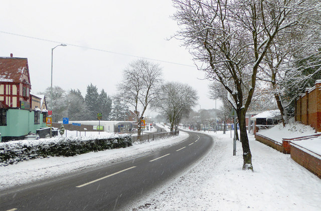
Image: © Roger D Kidd Taken: 10 Dec 2017
This is the A449 looking towards Wolverhampton city centre (about two miles) from near the United Reformed Church. On the left is the former Fox and Goose public house, now a Caribbean style restaurant and Cocktail Lounge.
Images are licensed for reuse under creativecommons.org/licenses/by-sa/2.0
Image Location
Latitude
52.560204
Longitude
-2.154399