Byway towards Lake House
Introduction
The photograph on this page of Byway towards Lake House by Richard Law as part of the Geograph project.
The Geograph project started in 2005 with the aim of publishing, organising and preserving representative images for every square kilometre of Great Britain, Ireland and the Isle of Man.

There are currently over 7.5m images from over 14,400 individuals and you can help contribute to the project by visiting https://www.geograph.org.uk
Byway towards Lake House
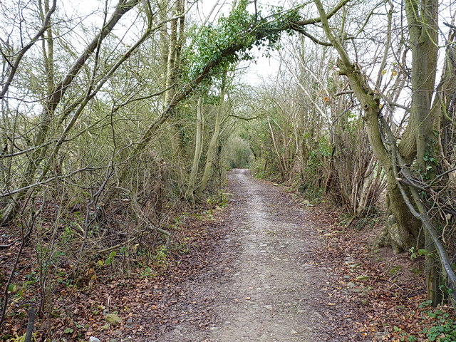
Image: © Richard Law Taken: 3 Dec 2017
Either end of the track there is a solid, well made surface. Not so in the middle, where it runs along the bed of the Daddlebrook for quite a distance.
Images are licensed for reuse under creativecommons.org/licenses/by-sa/2.0
Image Location
Latitude
52.461422
Longitude
-2.354805