The Daddlebrook in Lyebatch
Introduction
The photograph on this page of The Daddlebrook in Lyebatch by Richard Law as part of the Geograph project.
The Geograph project started in 2005 with the aim of publishing, organising and preserving representative images for every square kilometre of Great Britain, Ireland and the Isle of Man.

There are currently over 7.5m images from over 14,400 individuals and you can help contribute to the project by visiting https://www.geograph.org.uk
The Daddlebrook in Lyebatch
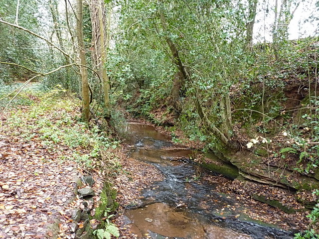
Image: © Richard Law Taken: 3 Dec 2017
A little way downstream of Alveley, this brook heads off for the Severn near Hampton Loade.
Images are licensed for reuse under creativecommons.org/licenses/by-sa/2.0
Image Location
Latitude
52.467977
Longitude
-2.357655