Sowerby Bridge FP69 at a junction of lanes, Sowerby
Introduction
The photograph on this page of Sowerby Bridge FP69 at a junction of lanes, Sowerby by Humphrey Bolton as part of the Geograph project.
The Geograph project started in 2005 with the aim of publishing, organising and preserving representative images for every square kilometre of Great Britain, Ireland and the Isle of Man.

There are currently over 7.5m images from over 14,400 individuals and you can help contribute to the project by visiting https://www.geograph.org.uk
Sowerby Bridge FP69 at a junction of lanes, Sowerby
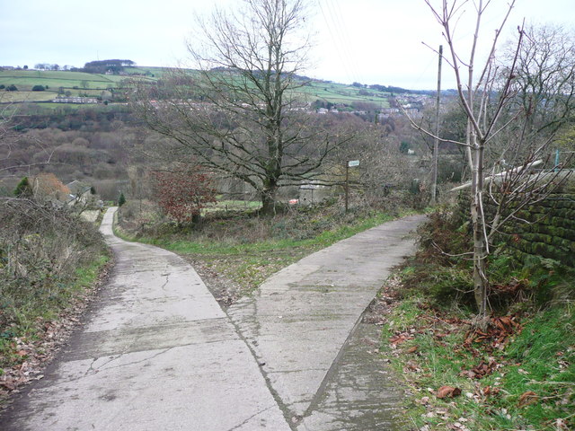
Image: © Humphrey Bolton Taken: 5 Dec 2017
The signpost points the way along the lane to the right. Wood Lane goes left, but rather oddly it is not a right-of-way until a public footpath joins it 100m further down the hill.
Images are licensed for reuse under creativecommons.org/licenses/by-sa/2.0
Image Location
Latitude
53.708718
Longitude
-1.937243