Gourdas Farm
Introduction
The photograph on this page of Gourdas Farm by Anne Burgess as part of the Geograph project.
The Geograph project started in 2005 with the aim of publishing, organising and preserving representative images for every square kilometre of Great Britain, Ireland and the Isle of Man.

There are currently over 7.5m images from over 14,400 individuals and you can help contribute to the project by visiting https://www.geograph.org.uk
Gourdas Farm
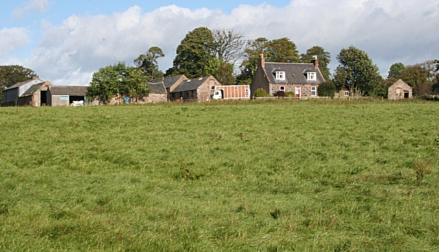
Image: © Anne Burgess Taken: 21 Sep 2007
This is one of several farms around here with similar names according to the 1:50,000 map, though the 1:25,000 map does distinguish them by name. The farm house is very traditional, with the main door in the centre of the front, flanked by matching windows and with a pair of dormer windows above.
Images are licensed for reuse under creativecommons.org/licenses/by-sa/2.0
Image Location
Latitude
57.466987
Longitude
-2.377736