Bridleway to Templeman's Ash
Introduction
The photograph on this page of Bridleway to Templeman's Ash by Derek Harper as part of the Geograph project.
The Geograph project started in 2005 with the aim of publishing, organising and preserving representative images for every square kilometre of Great Britain, Ireland and the Isle of Man.

There are currently over 7.5m images from over 14,400 individuals and you can help contribute to the project by visiting https://www.geograph.org.uk
Bridleway to Templeman's Ash
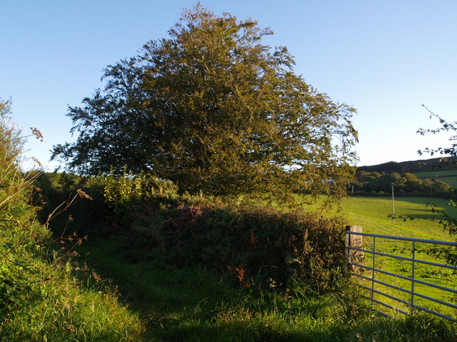
Image: © Derek Harper Taken: 18 Sep 2007
The bridleway which is seen crossing fields in Image is seen here climbing the ridge between hedges. Image was taken from the gateway.
Images are licensed for reuse under creativecommons.org/licenses/by-sa/2.0
Image Location


Leaflet Map data © OpenStreetMap
Latitude
50.803278
Longitude
-2.840194