Sowerby Bridge FP67 at Styes Lane, Luddendenfoot
Introduction
The photograph on this page of Sowerby Bridge FP67 at Styes Lane, Luddendenfoot by Humphrey Bolton as part of the Geograph project.
The Geograph project started in 2005 with the aim of publishing, organising and preserving representative images for every square kilometre of Great Britain, Ireland and the Isle of Man.

There are currently over 7.5m images from over 14,400 individuals and you can help contribute to the project by visiting https://www.geograph.org.uk
Sowerby Bridge FP67 at Styes Lane, Luddendenfoot
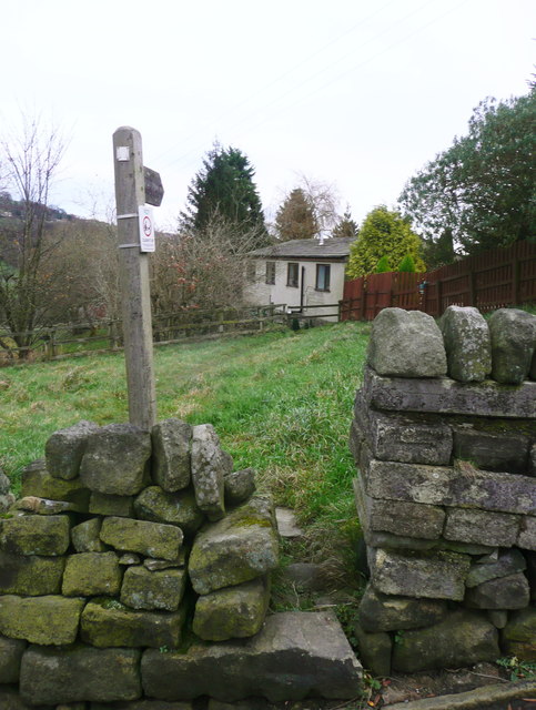
Image: © Humphrey Bolton Taken: 5 Dec 2017
Old maps show the path going through the farmyard of Jack Hey, but now it goes round the farm on the north side.
Images are licensed for reuse under creativecommons.org/licenses/by-sa/2.0
Image Location
Latitude
53.711957
Longitude
-1.942844