The top of Swamp Road, at Mill Lane, Luddendenfoot
Introduction
The photograph on this page of The top of Swamp Road, at Mill Lane, Luddendenfoot by Humphrey Bolton as part of the Geograph project.
The Geograph project started in 2005 with the aim of publishing, organising and preserving representative images for every square kilometre of Great Britain, Ireland and the Isle of Man.

There are currently over 7.5m images from over 14,400 individuals and you can help contribute to the project by visiting https://www.geograph.org.uk
The top of Swamp Road, at Mill Lane, Luddendenfoot
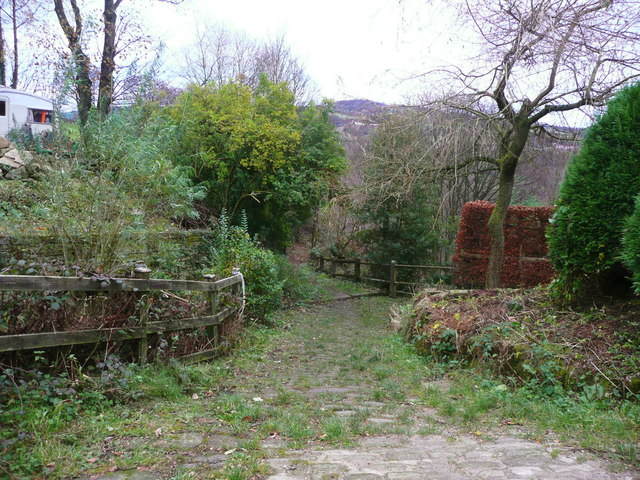
Image: © Humphrey Bolton Taken: 5 Dec 2017
Mill Lane and Swamp Road are both adopted highways, although parts of them are unsurfaced.
Images are licensed for reuse under creativecommons.org/licenses/by-sa/2.0
Image Location
Latitude
53.71124
Longitude
-1.94739