The Lambwath
Introduction
The photograph on this page of The Lambwath by Paul Harrop as part of the Geograph project.
The Geograph project started in 2005 with the aim of publishing, organising and preserving representative images for every square kilometre of Great Britain, Ireland and the Isle of Man.

There are currently over 7.5m images from over 14,400 individuals and you can help contribute to the project by visiting https://www.geograph.org.uk
The Lambwath
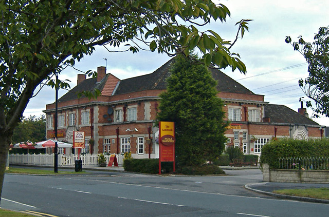
Image: © Paul Harrop Taken: 22 Sep 2007
Large pub/restaurant on Sutton Road, opposite the junction with Lambwath Road, from which it presumably takes its name.
Images are licensed for reuse under creativecommons.org/licenses/by-sa/2.0
Image Location
Latitude
53.774452
Longitude
-0.307764