Tolhurst Way, Maidstone Road
Introduction
The photograph on this page of Tolhurst Way, Maidstone Road by John Baker as part of the Geograph project.
The Geograph project started in 2005 with the aim of publishing, organising and preserving representative images for every square kilometre of Great Britain, Ireland and the Isle of Man.

There are currently over 7.5m images from over 14,400 individuals and you can help contribute to the project by visiting https://www.geograph.org.uk
Tolhurst Way, Maidstone Road
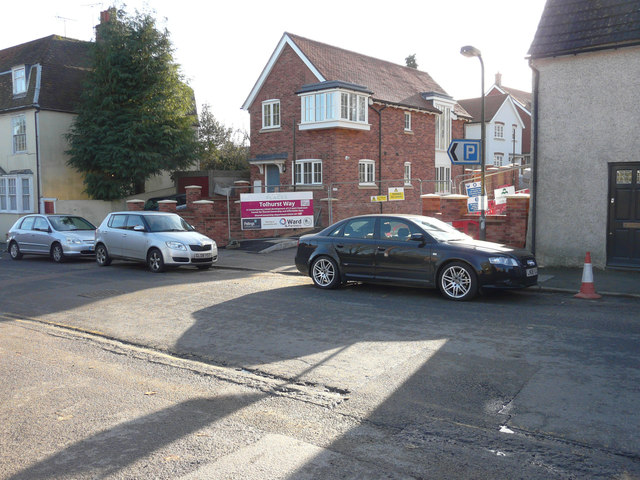
Image: © John Baker Taken: 19 Nov 2017
Planning permission was granted by Maidstone Borough Council under application number 14/502152/FULL for the “demolition of United Reformed Church and adjoining hall to facilitate the erection of 24 dwellings on this land and land to the south with associated parking, access (from Maidstone Road) and landscaping”. As the planning application indicates, this housing development was built on the site of a Image
Images are licensed for reuse under creativecommons.org/licenses/by-sa/2.0
Image Location
Latitude
51.237346
Longitude
0.716237