Purfleet station, 2005
Introduction
The photograph on this page of Purfleet station, 2005 by Ben Brooksbank as part of the Geograph project.
The Geograph project started in 2005 with the aim of publishing, organising and preserving representative images for every square kilometre of Great Britain, Ireland and the Isle of Man.

There are currently over 7.5m images from over 14,400 individuals and you can help contribute to the project by visiting https://www.geograph.org.uk
Purfleet station, 2005
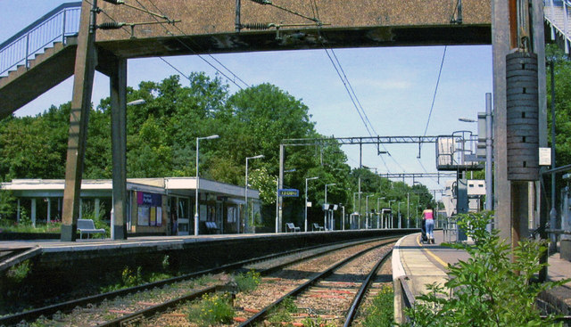
Image: © Ben Brooksbank Taken: 9 Jun 2005
View north on Down platform, towards Barking and London Fenchurch Street: Tilbury loop of ex-MR (LT&SR) Fenchurch Street - Southend and Shoeburyness line, electrified November 1961. Note the abundant vegetation on the track.
Images are licensed for reuse under creativecommons.org/licenses/by-sa/2.0
Image Location
Latitude
51.481022
Longitude
0.238107