Council Housing - Primrose Lane
Introduction
The photograph on this page of Council Housing - Primrose Lane by John M as part of the Geograph project.
The Geograph project started in 2005 with the aim of publishing, organising and preserving representative images for every square kilometre of Great Britain, Ireland and the Isle of Man.

There are currently over 7.5m images from over 14,400 individuals and you can help contribute to the project by visiting https://www.geograph.org.uk
Council Housing - Primrose Lane
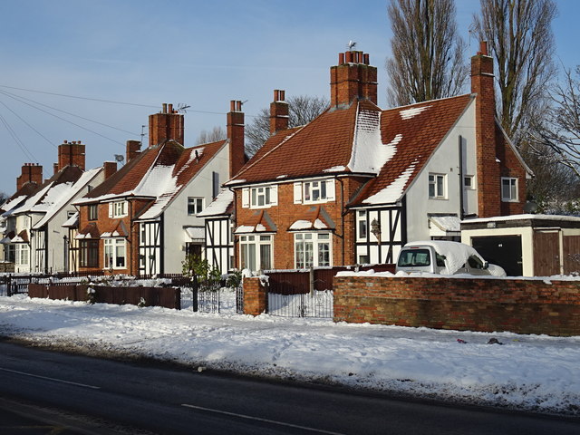
Image: © John M Taken: 12 Dec 2017
Unusual houses built on the edges of the Bushbury Estate in the late 1930s. The larger houses may have been council built for private sale. These examples have many of their original features.
Images are licensed for reuse under creativecommons.org/licenses/by-sa/2.0
Image Location
Latitude
52.61258
Longitude
-2.104075