Woodland beside the Red Burn
Introduction
The photograph on this page of Woodland beside the Red Burn by Richard Webb as part of the Geograph project.
The Geograph project started in 2005 with the aim of publishing, organising and preserving representative images for every square kilometre of Great Britain, Ireland and the Isle of Man.

There are currently over 7.5m images from over 14,400 individuals and you can help contribute to the project by visiting https://www.geograph.org.uk
Woodland beside the Red Burn
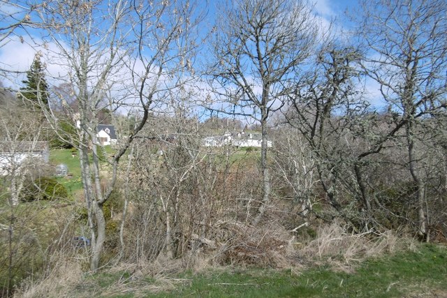
Image: © Richard Webb Taken: 2 Apr 2017
It's early April so some of the many scattered houses in the area can be seen through the trees.
Images are licensed for reuse under creativecommons.org/licenses/by-sa/2.0
Image Location
Latitude
57.481353
Longitude
-4.488675