Recreation Ground off Mortimer Hill, Tring
Introduction
The photograph on this page of Recreation Ground off Mortimer Hill, Tring by Rob Farrow as part of the Geograph project.
The Geograph project started in 2005 with the aim of publishing, organising and preserving representative images for every square kilometre of Great Britain, Ireland and the Isle of Man.

There are currently over 7.5m images from over 14,400 individuals and you can help contribute to the project by visiting https://www.geograph.org.uk
Recreation Ground off Mortimer Hill, Tring
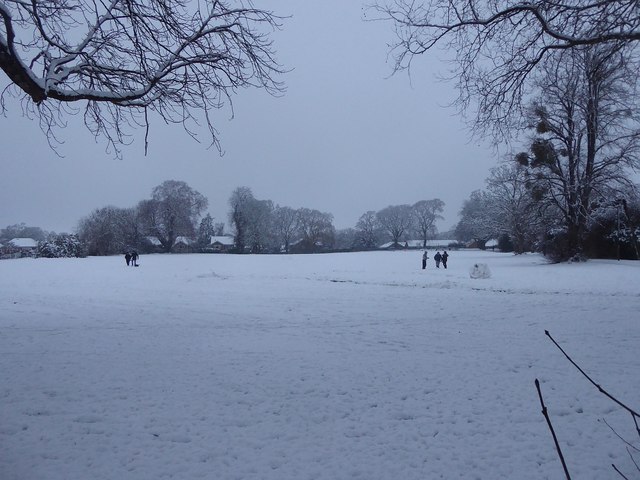
Image: © Rob Farrow Taken: 10 Dec 2017
This quite large (c. 1.56ha / 3.85acre) Recreation Ground is on the northwestern side of Mortimer Hill, sandwiched between the allotments of Westron Gardens and Tring School. Compare with Image] taken in rather warmer weather 12 years earlier.
Images are licensed for reuse under creativecommons.org/licenses/by-sa/2.0
Image Location
Latitude
51.797346
Longitude
-0.656288