A836 at Dalchork, Sutherland
Introduction
The photograph on this page of A836 at Dalchork, Sutherland by Andrew Tryon as part of the Geograph project.
The Geograph project started in 2005 with the aim of publishing, organising and preserving representative images for every square kilometre of Great Britain, Ireland and the Isle of Man.

There are currently over 7.5m images from over 14,400 individuals and you can help contribute to the project by visiting https://www.geograph.org.uk
A836 at Dalchork, Sutherland
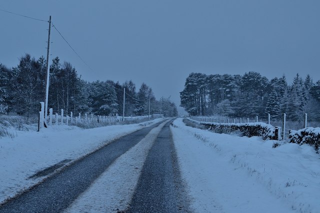
Image: © Andrew Tryon Taken: 9 Dec 2017
Snow starting to stick to the A836 Lairg to Altnaharra road at Dalchork in the midst of a snow storm. Although this is a colour photograph, the pale winter light creates an almost monochrome effect.
Images are licensed for reuse under creativecommons.org/licenses/by-sa/2.0
Image Location


Leaflet Map data © OpenStreetMap
Latitude
58.060696
Longitude
-4.417146