Gravestones in the former churchyard of St Anne Blackfriars
Introduction
The photograph on this page of Gravestones in the former churchyard of St Anne Blackfriars by Marathon as part of the Geograph project.
The Geograph project started in 2005 with the aim of publishing, organising and preserving representative images for every square kilometre of Great Britain, Ireland and the Isle of Man.

There are currently over 7.5m images from over 14,400 individuals and you can help contribute to the project by visiting https://www.geograph.org.uk
Gravestones in the former churchyard of St Anne Blackfriars
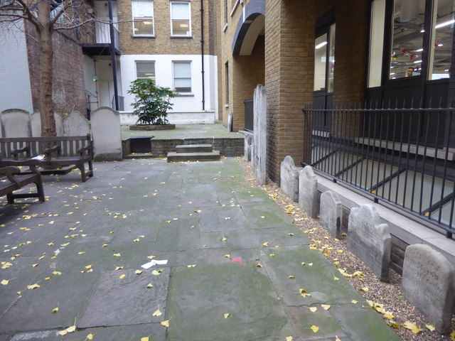
Image: © Marathon Taken: 6 Dec 2017
The garden covers part of the original medieval Dominican Priory of Blackfriars, which stood on this site until it was dissolved in 1538. The priory was replaced by the parish church of St Anne Blackfriars until this in turn was destroyed by the Great Fire of 1666 when the parish was united with St Andrew-by-the Wardrobe. The area was used as a churchyard until 1849. The level has been raised by the enormous number of burials which took place here in the 18th and 19th centuries. A crumbling section of wall is a surviving fragment from the Priory of the Dominicans. The garden has been maintained since 1964 by the Corporation of London.
Images are licensed for reuse under creativecommons.org/licenses/by-sa/2.0
Image Location
Latitude
51.513024
Longitude
-0.102907