Old Milestone by the A358, Chard Road, near Waggs Plot
Introduction
The photograph on this page of Old Milestone by the A358, Chard Road, near Waggs Plot by A Rosevear as part of the Geograph project.
The Geograph project started in 2005 with the aim of publishing, organising and preserving representative images for every square kilometre of Great Britain, Ireland and the Isle of Man.

There are currently over 7.5m images from over 14,400 individuals and you can help contribute to the project by visiting https://www.geograph.org.uk
Old Milestone by the A358, Chard Road, near Waggs Plot
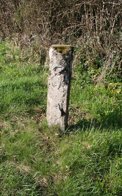
Image: © A Rosevear Taken: 27 Mar 2012
Metal plate attached to concrete post by the A358 (plate lost), in parish of ALL SAINTS (EAST DEVON District), Chard Road, junction with lane to Waggs Plot, North of Coaxdon Hall, Chardstock, on grass verge, on West side of road. Axminster pillar iron plate, erected by the County Council in the 20th century. Inscription once read:- : (CHARD 5) : : (AXMINSTER 2) : Milestone Society National ID: DV_AXCD02.
Images are licensed for reuse under creativecommons.org/licenses/by-sa/2.0
Image Location
Latitude
50.806689
Longitude
-2.979311