Old Milestone by the former A66, near Storms Farm
Introduction
The photograph on this page of Old Milestone by the former A66, near Storms Farm by CF Smith as part of the Geograph project.
The Geograph project started in 2005 with the aim of publishing, organising and preserving representative images for every square kilometre of Great Britain, Ireland and the Isle of Man.

There are currently over 7.5m images from over 14,400 individuals and you can help contribute to the project by visiting https://www.geograph.org.uk
Old Milestone by the former A66, near Storms Farm
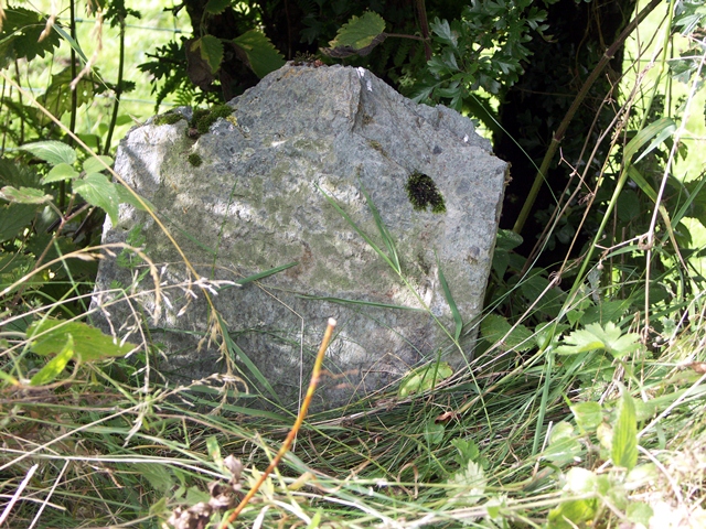
Image: © CF Smith Taken: 25 Aug 2005
Stone post (plate lost) by the UC road (was A66), in parish of ST JOHNS CASTLERIGG AND WYTHBURN (ALLERDALE District), Storms Farm, under hedge back of on grass verge by new stone, on North side of road. Keswick iron plate, erected by the Keswick turnpike trust in the 19th century. Inscription once read:- (PENRITH) (16 MILES) (KESWICK) (2 MILES) Milestone Society National ID: CU_PRKW16.
Images are licensed for reuse under creativecommons.org/licenses/by-sa/2.0
Image Location
Latitude
54.610344
Longitude
-3.094605