Path to the pavilion in Ewyas Harold Recreation Ground
Introduction
The photograph on this page of Path to the pavilion in Ewyas Harold Recreation Ground by Jaggery as part of the Geograph project.
The Geograph project started in 2005 with the aim of publishing, organising and preserving representative images for every square kilometre of Great Britain, Ireland and the Isle of Man.

There are currently over 7.5m images from over 14,400 individuals and you can help contribute to the project by visiting https://www.geograph.org.uk
Path to the pavilion in Ewyas Harold Recreation Ground
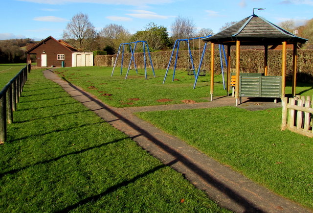
Image: © Jaggery Taken: 3 Dec 2017
The recreation ground is between Dulas Brook and houses in Priorsfield.
Images are licensed for reuse under creativecommons.org/licenses/by-sa/2.0
Image Location
Latitude
51.955102
Longitude
-2.893573