Sandstone walls on the east side of the churchyard
Introduction
The photograph on this page of Sandstone walls on the east side of the churchyard by Richard Law as part of the Geograph project.
The Geograph project started in 2005 with the aim of publishing, organising and preserving representative images for every square kilometre of Great Britain, Ireland and the Isle of Man.

There are currently over 7.5m images from over 14,400 individuals and you can help contribute to the project by visiting https://www.geograph.org.uk
Sandstone walls on the east side of the churchyard
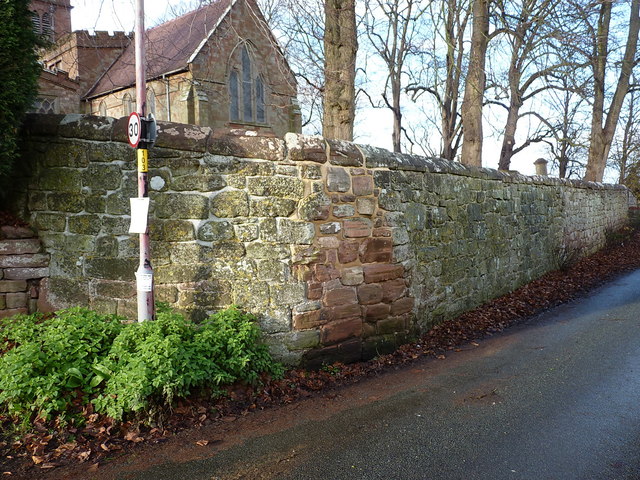
Image: © Richard Law Taken: 3 Dec 2017
The walls that surround the churchyard were Grade II listed https://www.britishlistedbuildings.co.uk/101053192-churchyard-walls-alveley#.Wi1sBNSLTGg in 1974; they are built of irregularly-coursed sandstone rubble with a rounded stone coping.
Images are licensed for reuse under creativecommons.org/licenses/by-sa/2.0
Image Location
Latitude
52.458186
Longitude
-2.354779