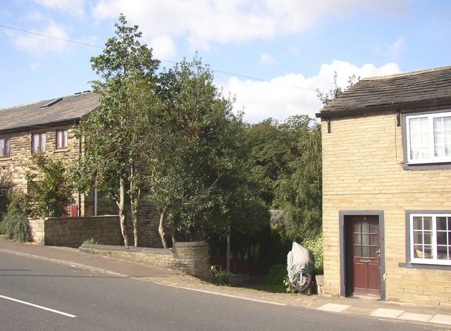
Top of footpath to Jumble Dyke, Crowtrees Lane, Rastrick
Introduction
The photograph on this page of Top of footpath to Jumble Dyke, Crowtrees Lane, Rastrick by Humphrey Bolton as part of the Geograph project.
The Geograph project started in 2005 with the aim of publishing, organising and preserving representative images for every square kilometre of Great Britain, Ireland and the Isle of Man.
There are currently over 7.5m images from over 14,400 individuals and you can help contribute to the project by visiting https://www.geograph.org.uk

Image: © Humphrey Bolton Taken: 12 Sep 2007
This footpath is in a steep strip of land that might be a fragment of an old common. It has been unpleasant to use due to litter and weeds, but has recently been cleared by volunteers. Update: The footpath is next to the house on the left. It is not on the rights-of-way map as a public footpath, and about six years after this image was taken it was fenced off for a while by the landowner, much to the dismay of the local residents who provided sufficient evidence of usage for it to be classed as a public highway. It has now been re-opened.

