Flood plain pasture east of Stafford
Introduction
The photograph on this page of Flood plain pasture east of Stafford by Roger D Kidd as part of the Geograph project.
The Geograph project started in 2005 with the aim of publishing, organising and preserving representative images for every square kilometre of Great Britain, Ireland and the Isle of Man.

There are currently over 7.5m images from over 14,400 individuals and you can help contribute to the project by visiting https://www.geograph.org.uk
Flood plain pasture east of Stafford
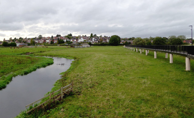
Image: © Roger D Kidd Taken: 28 Sep 2016
Looking upstream along the River Sow, towards Kingston Hill, this image of the Sow/Penk flood plain was taken from the Two Waters Way footpath (also visible on the right). Image]
Images are licensed for reuse under creativecommons.org/licenses/by-sa/2.0
Image Location


Leaflet Map data © OpenStreetMap
Latitude
52.805333
Longitude
-2.084362