The former Bell Inn, Alveley
Introduction
The photograph on this page of The former Bell Inn, Alveley by Richard Law as part of the Geograph project.
The Geograph project started in 2005 with the aim of publishing, organising and preserving representative images for every square kilometre of Great Britain, Ireland and the Isle of Man.

There are currently over 7.5m images from over 14,400 individuals and you can help contribute to the project by visiting https://www.geograph.org.uk
The former Bell Inn, Alveley
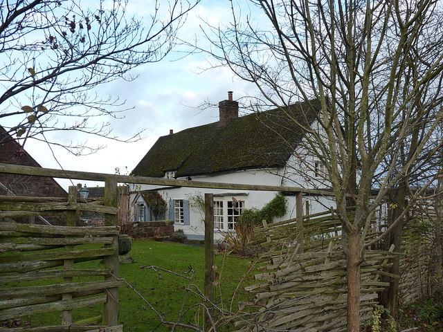
Image: © Richard Law Taken: 3 Dec 2017
Grade II* listed https://www.britishlistedbuildings.co.uk/101367871-the-bell-inn-alveley#.WixLW9SLTGg in 1974, at which time it was still a public house, this is now a private residence, having closed some 25 years or so ago. In itself it dates mainly from the 17th century, but its II* listing is primarily given for the remarkable amount of 12th & 13th century stonework and carvings that have been found in and around the structure. These include several large interlace panels, and a coffin lid, most of which are thought likely to have come from the nearby parish church at some stage.
Images are licensed for reuse under creativecommons.org/licenses/by-sa/2.0
Image Location
Latitude
52.458367
Longitude
-2.354339