Former malthouse, Alveley
Introduction
The photograph on this page of Former malthouse, Alveley by Richard Law as part of the Geograph project.
The Geograph project started in 2005 with the aim of publishing, organising and preserving representative images for every square kilometre of Great Britain, Ireland and the Isle of Man.

There are currently over 7.5m images from over 14,400 individuals and you can help contribute to the project by visiting https://www.geograph.org.uk
Former malthouse, Alveley
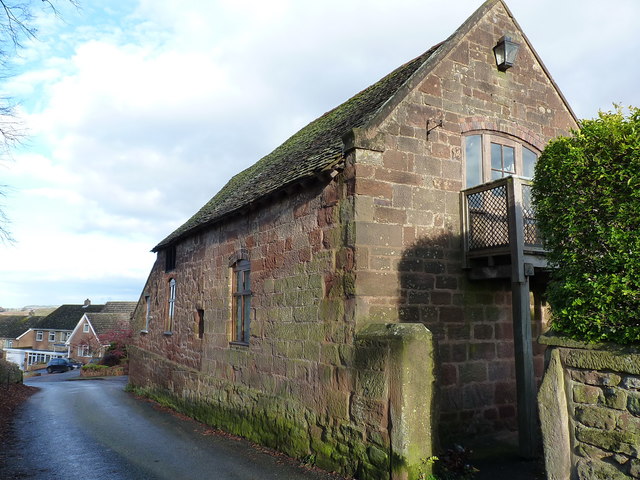
Image: © Richard Law Taken: 3 Dec 2017
This Grade II listed https://www.britishlistedbuildings.co.uk/101254267-outbuilding-and-attached-wall-to-north-west-of-number-6-the-bell-inn-alveley#.WixJzNSLTGg 18th century sandstone building is described as a probable former malthouse, as it is adjacent to the Image, which lies behind it and is now a private house.
Images are licensed for reuse under creativecommons.org/licenses/by-sa/2.0
Image Location
Latitude
52.458366
Longitude
-2.354634