Llwybr eglwys Cwrt Henri / Cwrt Henri church path
Introduction
The photograph on this page of Llwybr eglwys Cwrt Henri / Cwrt Henri church path by Alan Richards as part of the Geograph project.
The Geograph project started in 2005 with the aim of publishing, organising and preserving representative images for every square kilometre of Great Britain, Ireland and the Isle of Man.

There are currently over 7.5m images from over 14,400 individuals and you can help contribute to the project by visiting https://www.geograph.org.uk
Llwybr eglwys Cwrt Henri / Cwrt Henri church path
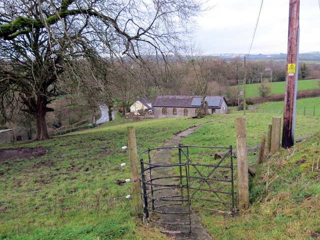
Image: © Alan Richards Taken: 9 Dec 2017
Llwybr o Eglwys Santes Fair yn arwain i lawr tuag at yr Ystafell Ddarllen a'r heol. A path descending from St Mary's Church towards the Reading Room and the road.
Images are licensed for reuse under creativecommons.org/licenses/by-sa/2.0
Image Location
Latitude
51.883794
Longitude
-4.096819