Road Closed, East Quay, Bridgwater
Introduction
The photograph on this page of Road Closed, East Quay, Bridgwater by Jaggery as part of the Geograph project.
The Geograph project started in 2005 with the aim of publishing, organising and preserving representative images for every square kilometre of Great Britain, Ireland and the Isle of Man.

There are currently over 7.5m images from over 14,400 individuals and you can help contribute to the project by visiting https://www.geograph.org.uk
Road Closed, East Quay, Bridgwater
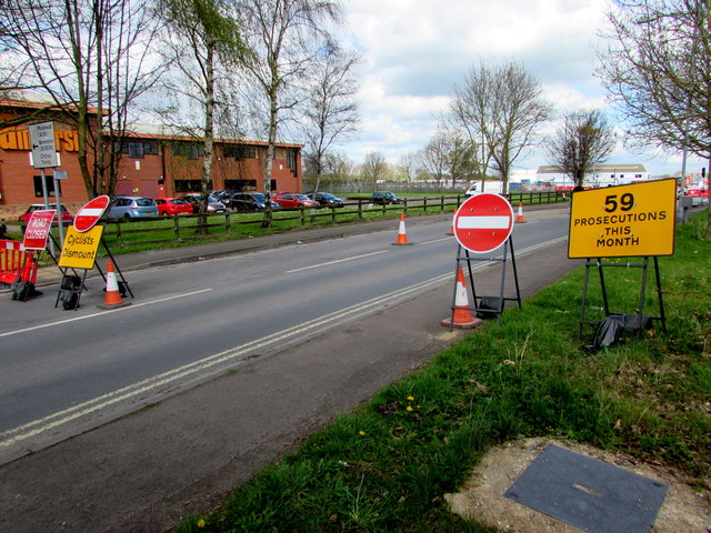
Image: © Jaggery Taken: 3 Apr 2017
Road Closed and No Entry signs are across East Quay on the approach to the A39 junction on April 3rd 2017.
Images are licensed for reuse under creativecommons.org/licenses/by-sa/2.0
Image Location
Latitude
51.136357
Longitude
-3.00045