Wood Hayes Place
Introduction
The photograph on this page of Wood Hayes Place by John M as part of the Geograph project.
The Geograph project started in 2005 with the aim of publishing, organising and preserving representative images for every square kilometre of Great Britain, Ireland and the Isle of Man.

There are currently over 7.5m images from over 14,400 individuals and you can help contribute to the project by visiting https://www.geograph.org.uk
Wood Hayes Place
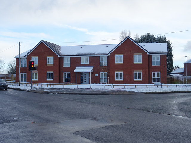
Image: © John M Taken: 8 Dec 2017
Newly opened Bromford supported home development comprising fourteen self contained one bedroom apartments for adults with mental health conditions. The site was previously occupied by the 1950s Wood Hayes public house.
Images are licensed for reuse under creativecommons.org/licenses/by-sa/2.0
Image Location
Latitude
52.616639
Longitude
-2.087099