Lane leading to works, Uckfield
Introduction
The photograph on this page of Lane leading to works, Uckfield by Patrick Roper as part of the Geograph project.
The Geograph project started in 2005 with the aim of publishing, organising and preserving representative images for every square kilometre of Great Britain, Ireland and the Isle of Man.

There are currently over 7.5m images from over 14,400 individuals and you can help contribute to the project by visiting https://www.geograph.org.uk
Lane leading to works, Uckfield
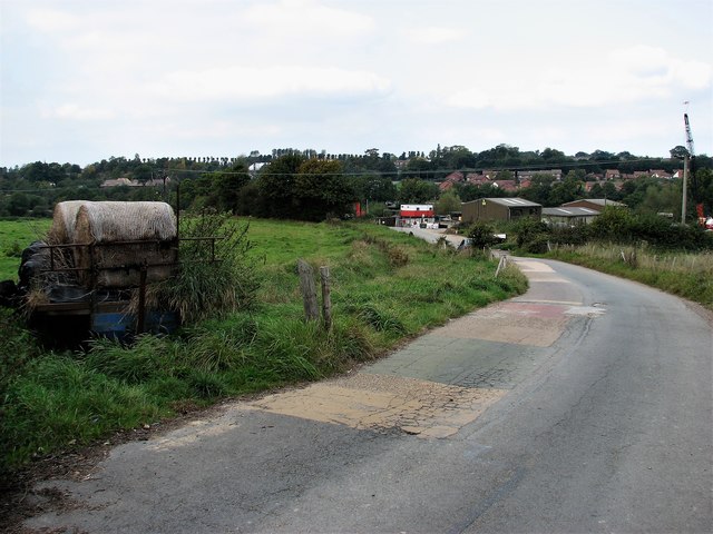
Image: © Patrick Roper Taken: 6 Oct 2007
I have not found a name for the lane which runs north from Bird-in-Eye Hill towards the river Uck. The works itself appears to be a storage depot for several different building and surveying contractors.
Images are licensed for reuse under creativecommons.org/licenses/by-sa/2.0
Image Location
Latitude
50.969909
Longitude
0.108754