Camping field near the Wingfield Arms
Introduction
The photograph on this page of Camping field near the Wingfield Arms by Richard Law as part of the Geograph project.
The Geograph project started in 2005 with the aim of publishing, organising and preserving representative images for every square kilometre of Great Britain, Ireland and the Isle of Man.

There are currently over 7.5m images from over 14,400 individuals and you can help contribute to the project by visiting https://www.geograph.org.uk
Camping field near the Wingfield Arms
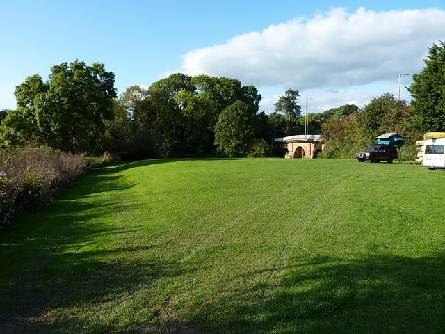
Image: © Richard Law Taken: 19 Sep 2017
The main site is just south of the pub, but this field gets used as a campsite on occasions too, as the nearby pub's attractions are handy.
Images are licensed for reuse under creativecommons.org/licenses/by-sa/2.0
Image Location
Latitude
52.732154
Longitude
-2.843333