Trinity Way.
Introduction
The photograph on this page of Trinity Way. by Gerald England as part of the Geograph project.
The Geograph project started in 2005 with the aim of publishing, organising and preserving representative images for every square kilometre of Great Britain, Ireland and the Isle of Man.

There are currently over 7.5m images from over 14,400 individuals and you can help contribute to the project by visiting https://www.geograph.org.uk
Trinity Way.
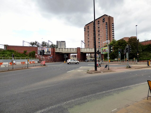
Image: © Gerald England Taken: 15 Jun 2017
The A6042 going under the railway line from Deansgate to Salford Crescent.
Images are licensed for reuse under creativecommons.org/licenses/by-sa/2.0
Image Location
Latitude
53.47808
Longitude
-2.261079