Dunwood Park, Shaw
Introduction
The photograph on this page of Dunwood Park, Shaw by michael ely as part of the Geograph project.
The Geograph project started in 2005 with the aim of publishing, organising and preserving representative images for every square kilometre of Great Britain, Ireland and the Isle of Man.

There are currently over 7.5m images from over 14,400 individuals and you can help contribute to the project by visiting https://www.geograph.org.uk
Dunwood Park, Shaw
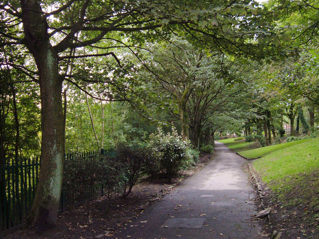
Image: © michael ely Taken: 20 Sep 2007
Looking south along the main footpath through the park about 100 metres north of the tennis courts. The path runs parallel with the railway and the River Beal.
Images are licensed for reuse under creativecommons.org/licenses/by-sa/2.0
Image Location
Latitude
53.588348
Longitude
-2.090601