Bottom of Bird-in-Eye Hill (B2012), Framfield Road, Uckfield
Introduction
The photograph on this page of Bottom of Bird-in-Eye Hill (B2012), Framfield Road, Uckfield by Patrick Roper as part of the Geograph project.
The Geograph project started in 2005 with the aim of publishing, organising and preserving representative images for every square kilometre of Great Britain, Ireland and the Isle of Man.

There are currently over 7.5m images from over 14,400 individuals and you can help contribute to the project by visiting https://www.geograph.org.uk
Bottom of Bird-in-Eye Hill (B2012), Framfield Road, Uckfield
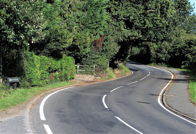
Image: © Patrick Roper Taken: 24 Sep 2007
The start of the ascent heading eastwards towards Framfield. On the outskirts of New Town, a suburb of Uckfield.
Images are licensed for reuse under creativecommons.org/licenses/by-sa/2.0
Image Location
Latitude
50.96777
Longitude
0.10766