Cragmill Hill
Introduction
The photograph on this page of Cragmill Hill by Russel Wills as part of the Geograph project.
The Geograph project started in 2005 with the aim of publishing, organising and preserving representative images for every square kilometre of Great Britain, Ireland and the Isle of Man.

There are currently over 7.5m images from over 14,400 individuals and you can help contribute to the project by visiting https://www.geograph.org.uk
Cragmill Hill
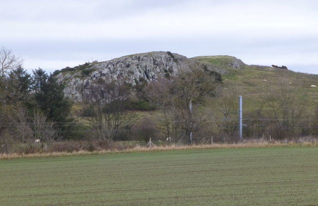
Image: © Russel Wills Taken: 5 Dec 2017
Whin grassland is only found at a small number of locations where thin, nutrient poor soils overlie outcrops of the Whin Sill. See https://www.nwt.org.uk/sites/northumberland.live.wt.precedenthost.co.uk/files/files/Whin%20Grassland%20Management%20Guide%20v2%20-%20low%20res.pdf for a Whin Grassland Management Guide. The ECML is in the foreground.
Images are licensed for reuse under creativecommons.org/licenses/by-sa/2.0
Image Location


Leaflet Map data © OpenStreetMap
Latitude
55.606935
Longitude
-1.812516