View near Spion Kop
Introduction
The photograph on this page of View near Spion Kop by Antony Dixon as part of the Geograph project.
The Geograph project started in 2005 with the aim of publishing, organising and preserving representative images for every square kilometre of Great Britain, Ireland and the Isle of Man.

There are currently over 7.5m images from over 14,400 individuals and you can help contribute to the project by visiting https://www.geograph.org.uk
View near Spion Kop
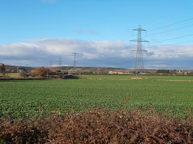
Image: © Antony Dixon Taken: 4 Dec 2017
Looking from the A60 (Leeming Lane) across the fields to the John Fretwell Sporting Complex, with the landscaped former spoil heaps of Shirebrook Colliery in the distance.
Images are licensed for reuse under creativecommons.org/licenses/by-sa/2.0
Image Location
Latitude
53.189662
Longitude
-1.173526